California’s wildfire camera network is turning early smoke detection into a large-scale test of how artificial intelligence should operate in public safety. A Microsoft update published August 28 says an enhanced system developed with UC San Diego’s ALERTCalifornia program now analyzes more than 7 million images a day from nearly 1,300 cameras. In one case, it identified a fire as much as 2.5 hours before the first 911 call.
The striking number is useful, but it is not the whole operational story. The system does not declare an emergency or dispatch crews by itself. It filters a huge visual stream for possible smoke, compares views, estimates a location, and brings a candidate event to trained personnel. Human watchstanders then evaluate the imagery and decide whether it deserves a response.
That division of labor makes the project more consequential than a simple computer-vision demonstration. It places AI inside a chain where speed matters, false alarms consume scarce attention, communications can fail, and a correct alert has value only if it reaches people able to act.
A camera network becomes a triage system
ALERTCalifornia grew from a university research network into statewide public-safety infrastructure. The program says its cameras and sensor arrays provide real-time information to local, state, and federal emergency managers. CAL FIRE deployed an earlier AI detection tool across all 21 of its emergency command centers after a 2023 trial.
The operating model is deliberately human-centered. According to ALERTCalifornia’s technical description, the model flags a potential incident, supplies a confidence estimate and an approximate location, and sends the relevant camera view to trained watchstanders. Clouds, fog, dust and changing light can all resemble smoke. The machine’s first job is therefore not certainty; it is prioritization.
Microsoft says the expanded system detected 77 incidents before they were otherwise reported during its first two months. ALERTCalifornia separately says the earlier platform detected more than 1,200 fires in its first season and beat 911 reporting more than 30 percent of the time. Those figures describe different periods and denominators, so they should not be merged into one performance rate.
TENS analysis: there are three clocks
The first original contribution from TENS Magazine is a three-clock reading of wildfire detection. The model clock stops when software flags smoke. The verification clock stops when a trained person confirms that the alert is credible. The response clock stops when the information changes deployment in the field. A faster first clock creates opportunity, but public-safety value depends on the other two clocks moving with it.
This distinction also explains why a dramatic maximum lead time cannot stand alone as proof of system-wide impact. The most important evaluation would report the distribution of lead times across confirmed incidents, the false-alert burden placed on watchstanders, the share of alerts that changed a response, and performance across darkness, fog, terrain and camera outages. The public material establishes real deployments and examples of earlier detection, but it does not provide that complete outcome table.
The second original contribution is a denominator rule for interpreting the project. Seven million images, 77 incidents, 1,200 fires and 30 percent before 911 measure different parts of the pipeline. Image volume shows scale; incident counts show reach; a before-911 percentage shows relative timing. None alone measures avoided damage. Keeping those denominators separate prevents an impressive monitoring statistic from being mistaken for a causal claim about fire size, property loss or safety.
Coverage matters as much as the model
The collaboration is also improving the infrastructure beneath the classifier. In February, ALERTCalifornia said researchers were working on edge computing that could increase transmission from one frame every 20 seconds to one frame each second. More frequent imagery could show how a smoke column changes during its earliest minutes, while cloud systems are intended to keep the network available during high demand.
Those changes expose a less glamorous constraint: an AI detector cannot see outside the camera network, recover an interrupted connection, or infer every obscured ignition. Camera placement, maintenance, bandwidth and overlapping views determine what evidence reaches the model. Better software can reduce the time spent scanning visible scenes, but it does not eliminate geographic blind spots.
The third original contribution is an operational reliability test with four independent gates: coverage, detection, human confirmation and delivery to responders. A system fails if any one gate fails, even when the model’s benchmark accuracy looks strong. That means future reporting should audit network uptime and alert handling alongside computer-vision performance, because resilience belongs to the whole chain rather than to the classifier alone.
What the project proves—and what comes next
The evidence supports a focused conclusion. AI can watch more camera feeds than a human team could continuously scan and can push unusual imagery toward trained reviewers sooner. Statewide use also shows that the idea has moved beyond a laboratory prototype. The collaboration’s reported 10-to-30-minute improvement over the existing platform suggests the next generation may add useful lead time even where AI detection is already in place.
It does not prove that every alert is earlier, that an algorithm can replace dispatch judgment, or that early detection automatically limits a wildfire. Weather, access, fuel, terrain and available crews still shape the outcome after confirmation. The strongest design choice may be the restraint built into the workflow: the model narrows attention, while accountable people interpret the scene and decide what happens next.
Sources: Microsoft Unlocked; UC San Diego ALERTCalifornia collaboration announcement, program overview and technology documentation; California Department of Forestry and Fire Protection director’s report.
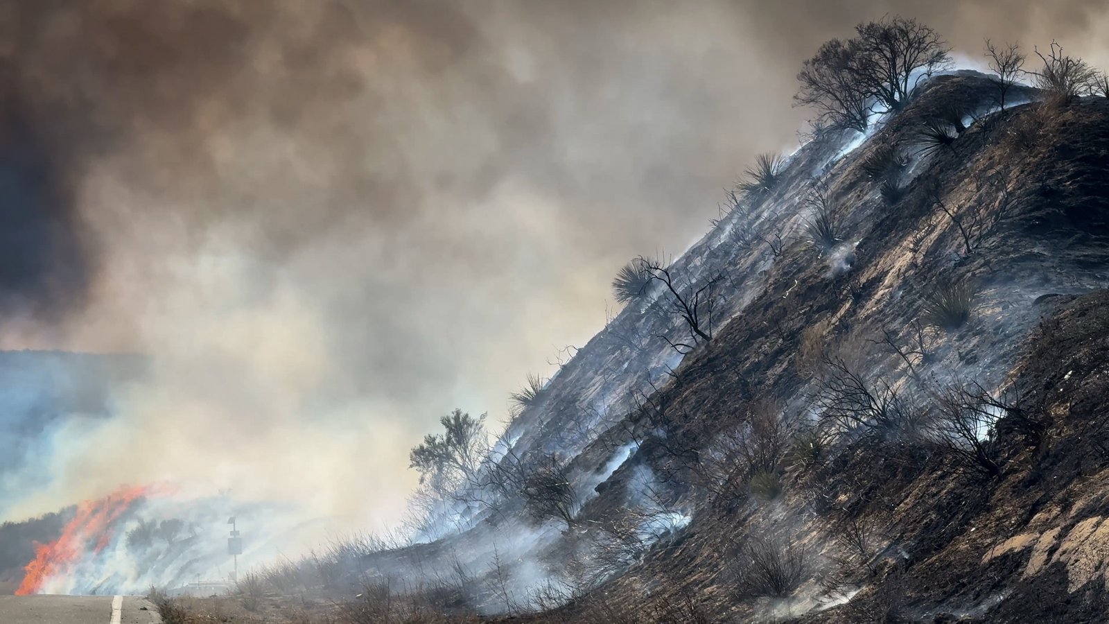
Featured image: The Hughes Fire burning along Lake Hughes Road in California on January 22, 2025. Photo: Andrew Avitt, USDA Forest Service, via Wikimedia Commons. Public domain, United States Forest Service work. Proportionally resized from 3,840 × 2,160 pixels to 2,400 × 1,350 pixels; no crop, generative alteration or substantive modification. The photograph is illustrative and does not depict an ALERTCalifornia detection event.