A map can look persuasive before anyone has checked the calculation behind it. As Google expands experimental access to its Earth AI Geospatial Reasoning agent, the important question is how to tell whether an automated answer represents a completed spatial analysis. The company’s October 14 update makes that question more urgent by putting increasingly complex mapping workflows within reach of people asking ordinary-language questions.
Google says early access is expanding through Ask Google Earth and an agent-to-agent service. Its accompanying research compares systems with different combinations of specialist tools and planning. Read alongside the original research behind two external benchmarks, the evidence supports a specific TENS Magazine assessment: geospatial AI needs separate proof that it found the right answer, performed the relevant computation, and followed a defensible analytical process.
What a correct answer can leave untested
The earlier UnivEARTH research, led by Chia-Hsiang Kao and colleagues at Cornell and Columbia, assembled 140 yes-or-no questions from NASA Earth Observatory articles. The researchers required agents to produce answers grounded in Google Earth Engine analysis. In that setup, the best accuracy was 33 percent, and generated code failed to execute more than 58 percent of the time. These were results for the models and conditions tested then, not a measurement of today’s Google agent.
Google’s new technical report, submitted October 11, adapts external benchmarks into problems to solve rather than instructions to write code. It reports that even systems without geospatial tools score highly on UnivEARTH and identifies availability of the underlying published answers as a limitation.
TENS analysis: The contrast changes what a score can mean. A system that retrieves a published conclusion may answer the question correctly without demonstrating that it can reproduce the measurement. The older and newer results therefore cannot be treated as a simple percentage-point improvement in Earth-observation competence. The evaluation contract changed along with the models.
That distinction matters most when the next question concerns a place or date that no article has already explained. A useful acceptance test would ask for the selected imagery, geographic boundary, time interval, processing steps and resulting calculation. Agreement with a known answer can then serve as one check within the record, rather than stand in for the record itself.
Execution deserves its own evidence
The Cloud-Based Geospatial Benchmark, presented at an ICML 2025 workshop by Jeffrey Cardille and colleagues, approached the problem through 45 practical scenarios with short numerical answers. Experts supplied questions and reference solutions. Its evaluation found that access to execution feedback generally helped models, reflecting the way a programmer can inspect an error and revise a calculation.
This provides a useful counterweight to an answer-only test. An executable result gives a reviewer something concrete to inspect. Yet successful execution still leaves room for the wrong region, an inappropriate dataset or a mismatched period. A number can be reproducible and still answer a subtly different question.
TENS analysis: Buyers of geospatial automation should preserve two records: the result and the route used to obtain it. The result supports comparison with a reference value. The route exposes assumptions that a reference value may conceal. If an agent changes datasets after an error, that substitution belongs in the record, because it can change the interpretation even when the code runs successfully.
A good workflow is another kind of result
Google’s GeoExpertQueries benchmark evaluates open-ended problems against expert workflows using an automated grader validated against human judgments. The company explicitly cautions that these workflows describe appropriate analytical steps, rather than establish a correct final answer. Its October 14 account presents the agent’s output as material for experts to review and develop.
That is a meaningful boundary on the claim. Workflow evaluation can reward sensible data selection and planning where no single numerical answer exists. It cannot, by itself, establish that every map layer or recommendation is correct. Nor should the same score be read as an error rate for decisions made outside the benchmark.
TENS analysis: The three tests belong in sequence. First establish whether the answer is supported; then inspect whether the computation can be reproduced; finally review whether the overall method fits the real question. Strength at one stage should narrow the remaining review work, not erase it. This is an editorial framework for interpreting the studies, not a deployment standard validated by them.
For an organization testing the experimental service, the practical milestone would be a reviewed analysis that another qualified person can rerun and challenge. That requires retaining assumptions and substitutions alongside maps, including unresolved gaps. Google’s expanded access creates an opportunity to test that handoff. The decisive evidence will be whether users can understand and correct the work after the agent has finished speaking.
Sources: Google Research’s October 14 Earth AI update; Google Earth AI Geospatial Reasoning Agent technical report; Towards LLM Agents for Earth Observation; The Cloud-Based Geospatial Benchmark research presented at ICML.
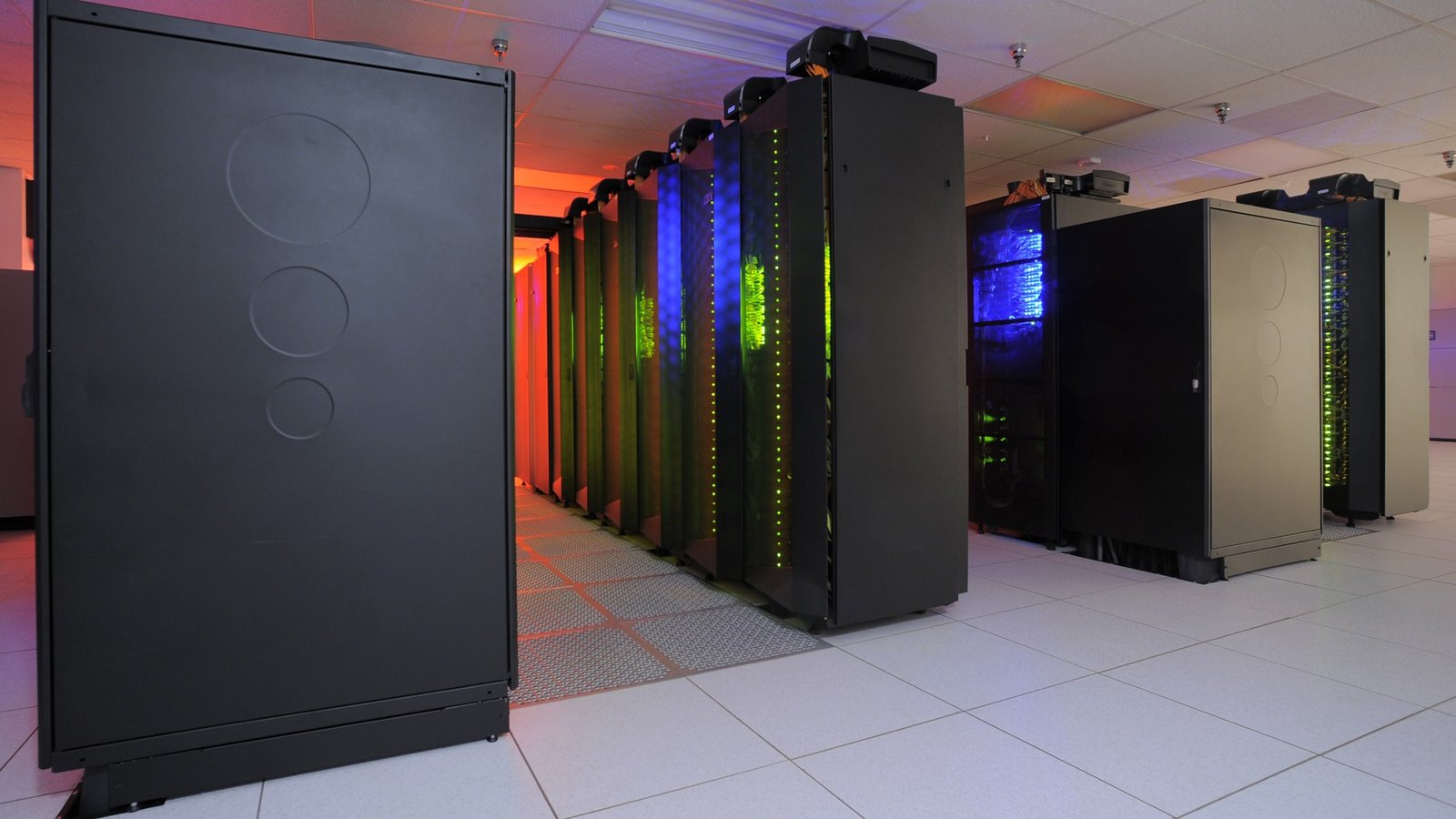
Image: Archival Discover supercomputer at the NASA Center for Climate Simulation, illustrating scientific computing infrastructure; not Google’s Earth AI hardware. Photo: NASA/Pat Izzo, NASA Goddard Space Flight Center, via Wikimedia Commons. Public Domain, United States government work. Center-cropped to 16:9 and resized from the 3,312 × 1,960 original; no generative alteration.